Madagascar is an island 260 miles off the eastern coast of Africa. Geographically, the island is African, but its people aren’t, not originally. By that, I mean they didn’t get there, in a historical sense, by sailing from the African coast, even though that’s the nearest major landmass. Instead, the people who would become Madagascar’s first inhabitants arrived on boats they’d built and boarded 4,000 miles away in Indonesia.
Here’s a map for reference, because there’s no way the human mind can properly conceptualize 4,000 miles. For comparison, Northeastern Maine to San Diego, the length of the contiguous United States, is about 2,700 miles. To compare, Columbus’s voyage to the Americas spanned almost the same 4,000 mile distance. The difference, though, is that Columbus set sail in 1492, and the new people of Madagascar left about a thousand years earlier. They also didn’t fuck everything up as soon as they arrived.
To be clear, the Malagasy, the people of Madagascar, could have arrived anywhere between 350 B.C. and 550 A.D., but the hottest numbers right now point toward the 400-550 range. Even at the absolute latest end of that spectrum, though, the idea of any human being able to sail 4,000 miles in 550 A.D. is insane. For reference, 550 A.D. is about 150 years after the fall of Rome and several hundred years before the rise of the Vikings in northern Europe. Most Europeans wouldn’t even start thinking about crossing the Atlantic for eight hundred years. Sailing a thousand plus miles without a coast to guide you in 550 isn’t just unusual, it’s unheard of, unless you’re Austronesian.
If you’re not familiar with Austronesia, that’s fair, because it’s not a real place. “Austronesian” is, instead, a categorical designation for the collection of ethnic groups in Oceania, Southeast Asia, and, pssst, Madagascar that share a common ancestor somewhere in Eastern Asia (probably Taiwan). From the shores of that comparatively small island off of China’s southeastern coast, the would-be Austronesian people went fucking crazy. Way before Europeans had the technology, manpower, and/or energy to embark on distant voyages far from land, the Austronesians were busy settling everywhere.
There are somewhere around 25,000 islands in the Pacific ocean, and the Austronesians settled all of them. (Quick! Can you identify misinformation on the internet?) No they didn’t. But they did settle a lot of them, including all of Indonesia, 2500+ miles south to New Zealand, 4,000 miles west to Madagascar, and another 4,000 miles east to Hawaii. Today, about 400 million people can trace at least a portion of their ancestry to that first group that sailed from Taiwan.
The Austronesian expansion is absolutely insane, but knowing about it is kinda uncommon. It wasn’t until the release of the 2016 biopic Moana that public awareness of Austronesian migration hit mainstream. The movie’s pretty accurate, except for the luminescent stingray grandma, religious fealty to The Rock, and Hamilton-adjacent soundtrack. Actually, it was mostly accurate in that they had boats.
But it wasn’t just boats. Everyone has boats. Your uncle has a boat. The Austronesians had very good boats, at least for their time. Everyone else had idiot boats that tipped over when Poseidon became angry, or when wind existed. The Austronesians used outriggers, which are special in that they’re built with one or more floating support beams suspended a few feet to a few meters away from the boat’s hull. Think of them as pre-industrial wooden pool noodles. But a lot better. Sometimes, instead of a simple outrigger, they banded two canoes together, motorcycle sidecar-style, to achieve the same effect. The result, either way, was a boat that could embark far into the ocean without as significant risk of tipping or capsizing.
Even then, it still wasn’t just boats; the Austronesians were gifted navigators on their own. They mastered interpreting direction from the position of the stars. These celestial navigation techniques were passed on exclusively through oral tradition, given that they didn’t develop what we would consider a written language.
They also made maps, but they didn’t have paper, so they substituted with sticks. Not really; the maps they used are called stick charts, but National Geographic explains that “the devices are not really sticks and they’re not really charts!”, which is fucking annoying. Instead, the maps charts cartographical instruments were made by using shells to indicate the locations of islands, and then weaving bits of coconut fiber in paths to designate waves and currents. They were accurate, because they had to be. You can afford to overshoot a hill by a few miles and ask around. Overshoot or undershoot at sea and you’re dead, kid. Still, what’s even more insane is that they didn’t bring the maps with them, they memorized them. Geography nerds, pay homage to our forefathers.
Using these instruments, the Austronesians expanded from Taiwan throughout the Pacific and Indian oceans, founding four relatively distinct geo-cultural regions:
- Polynesia, named after its shitload of islands (“many islands” in Greek)
- Micronesia, named after its tiny islands (“small islands” in Greek)
- Melanesia, named after its… black people (“black islands” in Greek)
- Maritime Southeast Asia, named after its founder, John Maritime Southeast Asia
Together, their realm is huge, stretching from Easter Island in far eastern Polynesia to the western islands of Indonesia. Way further than that, though, there’s Madagascar.
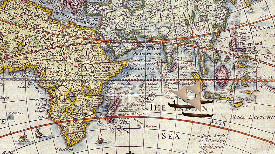
Madagascar is very far from Maritime Southeast Asia, the nearest of the Austronesian realms. If you’ve been reading since the start of this piece (good job!) you’ll know it’s over 4,000 miles away. If you’re just joining us now, it’s over 4,000 miles away. According to Encyclopedia Britannica, we don’t know how they got there. I mean, by boat, obviously, but we don’t know if they sailed directly from island to island or if they stopped at India for burgers on the way there (India is a bad place to stop for burgers). Some people think their arrival was a mistake. They couldn’t have known whether or not they would have found something either way, but it’s possible they pulled a reverse-Columbus and underestimated the distance between their destination and their starting point.
Either way, the Austronesian people made it to Madagascar, and they made it there before anyone else that we know of. It’s possible others got there first, but they either died out or found themselves on bad terms with the resident lemur mafia. As far as we know, though, the folks who took boats from Indonesia were the first. They were met not too long after by other groups, including Arab traders, but what I find super fascinating is that they beat Madagascar’s nearest neighbors, the native people of Africa. Keep in mind that another group native to Africa is humans, which means that anatomically modern people evolved in Africa, walked all the way north to Egypt, wandered through the whole of the middle East to East Asia, crossed the strait to Taiwan, invented transoceanic navigation, and then used it to end up right next door to where they started. Humans are wild.
To be clear, the Austronesian-Malagasy link is scientifically solid, determined through both DNA comparison and linguistic analysis; the modern languages spoken by Malagasy people do include loanwords here and there from East African Bantu languages and the more recent Swahili, but the backbone and bulk of these languages are Austronesian.
Today, the Malagasy remain the primary inhabitants of the island, having been changed somewhat through close contact with East Africa, Arabian traders, and French colonialism. Beneath the broader Malagasy umbrella, they’re divided into smaller subcultural groups with the coolest names I’ve ever heard. The island’s central plateau is populated primarily by the Merina, or the Elevated People. Among its other largest groups are the Betsimisaraka, the Inseparable Multitude, and the Betsileo, the Invincible Multitude. Holy fuck. There’s also the Tsimihety, Those who do not cut their hair. Listen, you gotta live by something.
The Austronesian people are a varied and widespread group with a long and fascinating history. As such, it’s unlikely I didn’t fuck up little bits of it. Different ethnic and tribal groups definitely used different boats and navigational aids. Regardless, the historical footprint and contribution of the Austronesians is hard to entirely comprehend. PBS’s NOVA details one story from one of Captain James Cook’s Pacific voyages during which he met a Tahitian navigator who accurately directed Cook’s ships from his home island to another one three hundred miles away. In 1768, an uneducated (by European standards) Polynesian native was showing up an experienced explorer with the best and most modern navigational technology the world had to offer.
Hundreds of years earlier, the Tu’i Tonga presided over a massive maritime empire with an organized navy, cultivating a trans-oceanic civilization that would last hundreds of years.
What I find most interesting about the Austronesian people is their motivation; when Christopher Columbus set sail from Spain in 1492, he had based his departure on the assumption that the Earth was way smaller than contemporary science believed. Christopher Columbus was an idiot, but, to his fortune, he was a lucky idiot. The Austronesians, on the other hand, left their tropical island homes in pursuit of adventure, having developed impressive navigational skills, but otherwise harboring no knowledge of what they’d find. Columbus discovered America in the same way that I discover every street I accidentally turn down and did it squatting atop a pile of Spanish gold; the Austronesians discovered Madagascar for real, with nothing but hope and the stars to guide them. That’s pretty cool.
Read More
- Madagascar from Encyclopedia Britannica
- Marshallese Stick Chart from National Geographic
- Polynesia’s Genius Navigators by Liesl Clark for PBS NOVA
- Wayfinders: A Pacific Odyssey from PBS